Saturday, March 9, 2013

William Blair Park

In February of 2012, I was able to fly down at William Blair Park and got some good photos, but in the middle of winter, the Great Trinity Forest looked stark and lifeless. When early this week I heard that the buckeye trees in the Great Trinity Forest were beginning to bloom, I started watching for a weather window to go back down to William Blair Park and hopefully capture some color this time.


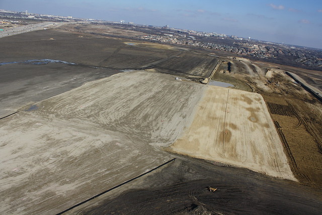
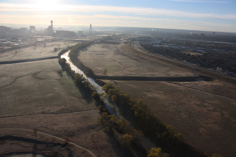
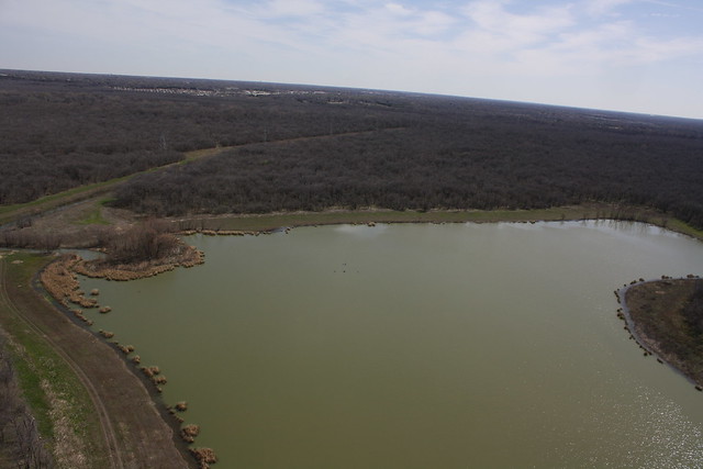
As you can see in this picture, with the lower chain of wetland cells in the background, that the forest as viewed from the air doesn't have much color yet. I'll have to try to make it back down there in a week or two.
IMG_2105


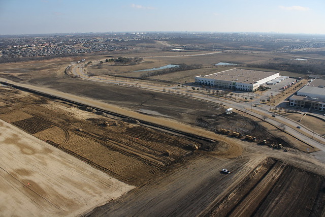
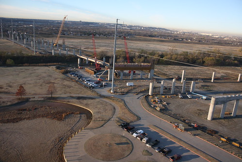
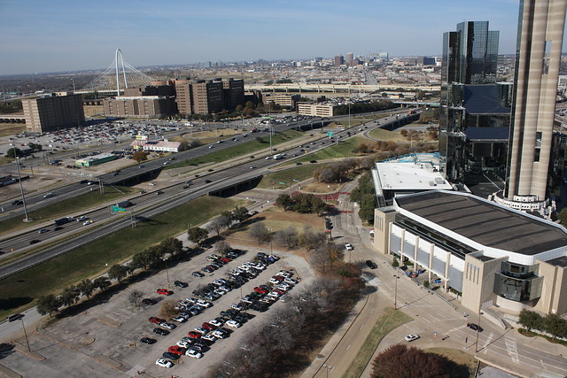
I did get some decent images of the city's municipal complex with the Dallas skyline in the background. Also in this picture, in the upper left corner in the construction of the City’s project housing.
IMG_2133


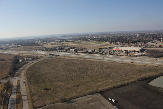
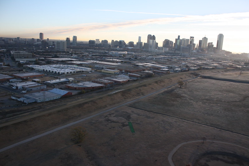
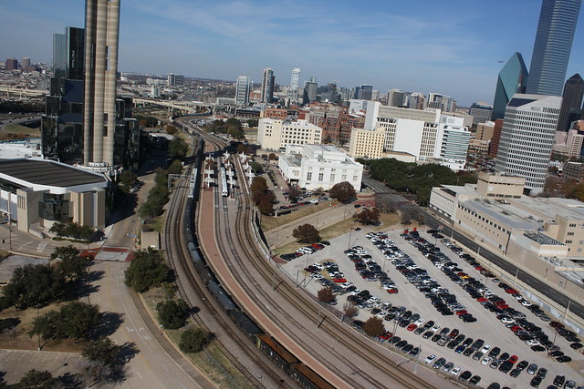
Another good shot of the skyline, and William Blair Park off to the right.
IMG_2157


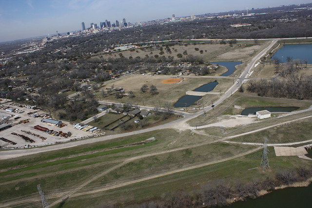
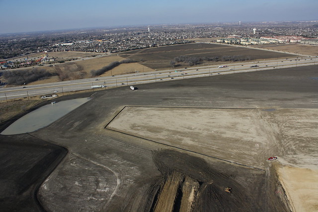
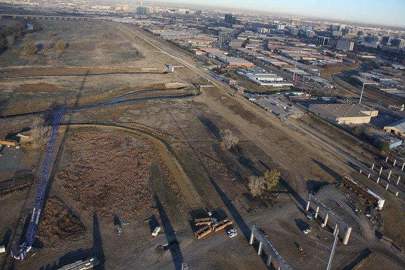
Here is a better shot of William Blair Park
IMG_2063


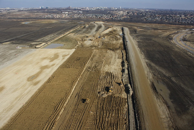
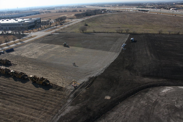
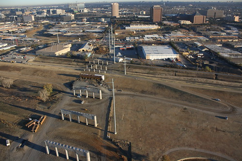
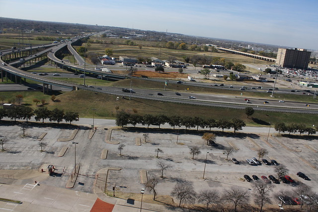
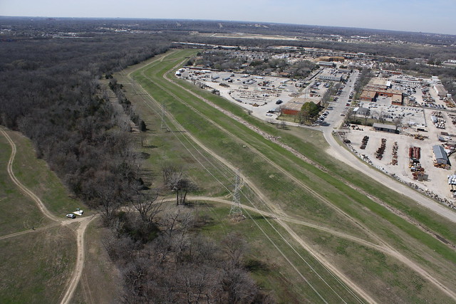
Off in the distance in this picture, you can see the Trailhead for the Buckeye trail, which is located at the south end of Bexar St.
IMG_2070


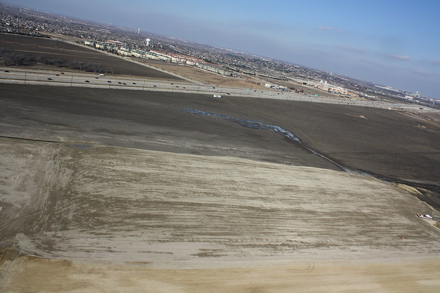
Lastly, a shot looking east towards Pemberton Hill Road.
IMG_2081


All of my images from this sortie are located on here: http://www.flickr.com/photos/48783655@N04/sets/72157632936257478/

All of my Aerial images can be found on my Flickr page. http://www.flickr.com/photos/48783655@N04


These images were brought to you by your friendly neighborhood drone.
IMG_4034-crop

Saturday, January 5, 2013

Nebraska Furniture Mart Construction site

When I read in this thread on the DallasMetropolis.com site about a Nebraska Furniture Mart being built in The Colony, the size of the site didn't register with me. 1.8 Million Sq. Ft. I just didn't have much to compare that to. Then local Carrollton photographer Scott Dorn told me where the site was, I knew I needed to try and get some before shot.  I wasn’t prepared for how massive this construction site is.  I drove around a little bit and was shocked and the acreage of this site.  On the surface, my pictures just do not do the scale of this project any justice, but more on that later. 
 
I pulled into one of the construction entrances and got permission to fly from the site.  I was able to take off and land from a packed gravel lot that was being smoothed out by a roller while I was flying.  My friend and fellow blogger, Chris Jackson showed up to take some photos while the plane was in the air.  He is a pro at shooting birds in flight, so what better a person to shoot some images of my plane in flight, but more on that in a future post.

Here is one of the few pictures that I got that start to show the scale of this project.  The little white spot just above center of this picture is a pickup truck and a car.  This shot is looking east.
IMG_1759

Here is a shot looking North East and same two vehicles.
IMG_1777

And another shot looking east while the place was closer to the active equipment.  The dozers and dump trucks in the foreground look tiny compared to this place.
IMG_1769

Here is a look to the south east.
IMG_1697


Here are some shots of the surrounding area.


This one is looking North West with Lake Lewisville in the distance.
IMG_1788

Looking North with Hawaiian Falls Adventure Park the upper left.
IMG_1844

and finally, looking West South West, with Target and Best Buy off in the distance, a nice smooth, freshly rolled, place to land in the foreground. 
IMG_1817

All of these pictures and many more can be found here.


All of my aerial photos can be found here.


That's the Plane guy perspective.

Tuesday, December 11, 2012

Trammell Crow Park in the morning.

I cut my Aerial Photography teeth at Trammell Crow Park down in the river basin and it is one of my favorite places to fly.  Since the Sylvan Avenue bridge construction cut off access to the park, I have not been able to go there much.  I had some extra time this morning, so I decided to stop by and get some pictures of the Sylvan Avenue Bridge construction and of Downtown just after sunrise.  I am very pleased with the results.


IMG_1482


IMG_1449


IMG_1627


IMG_1510


IMG_1560


IMG_1589


IMG_1492


IMG_1496


IMG_1514


IMG_1520


IMG_1550


IMG_1624

All of the pictures from this flight are available at http://www.flickr.com/photos/48783655@N04/sets/72157632224259508/

Lastly, nearly all of the aerial photos I have posted on flickr are straight from the camera with no editing whatsoever.  That applies to these pictures as well.  I'd rather be flying and taking pictures than editing them.

Thursday, December 6, 2012

Reunion Flight

The vast majority of my flying is done down in the Trinity River basin. Once I realized that there was a park with an open field near downtown where Reunion Arena used to be located, I just had to scope it out. I was able to get some really nice shots of the area.  Some of the buildings that can be seen are Reunion Tower, Union Station, The Dallas Morning News building, Belo Building, Dallas Convention Center, and the Hyatt Regency hotel.  It was a pretty day for flying, and I love how clear our skies are during the winter.


IMG_1339
Reunion Tower, the Hyatt Regency Dallas and Union Station


IMG_1324
Dallas Morning News building, Belo building, and the Omni Hotel


IMG_1328
Dallas Convention Center


IMG_1343
The Margaret Hunt Hill bridge behind the Dallas Court buildings


IMG_1378
Looking west along I30 with I35 in the foreground.


IMG_1405
Union Station and the Old Red Courthouse

 
All of the photos from this flight are here
My entire collection of photos are here

Wednesday, December 5, 2012

Ok, Let's get started.


It all started several years back when my semi-retired parents gave me a small camera that was designed to mount on an RC plane.  I had really started to get back into the RC plane hobby, and this little 2.1MP camera fit right in to what I was doing.  I mounted the camera on a couple different planes that I had at the time, and started getting pictures.
Flying from Trammel Crow Park, looking South.  Little did I know at the time, that this was the first picture I took of the Margaret Hunt Hill bridge construction.


Looking South-West from Trammel Crow Park.  The original Pavaho pump station is just barely visible.


Dallas' Skyline at the time.
As you can see the pictures were not very good, but I had the bug.  I found it very compelling to see the area from a perspective few other people get to see.  Little did I know at the time what this hobby would turn into, and how many really cool images I would get along the way. 

More to come from a Plane Guy's Perspective.